While I was in Prineville living it up with Karen, M dropped the girls off at bahmah's and took another stab at Three Fingered Jack. Here is his accounting of the hike.
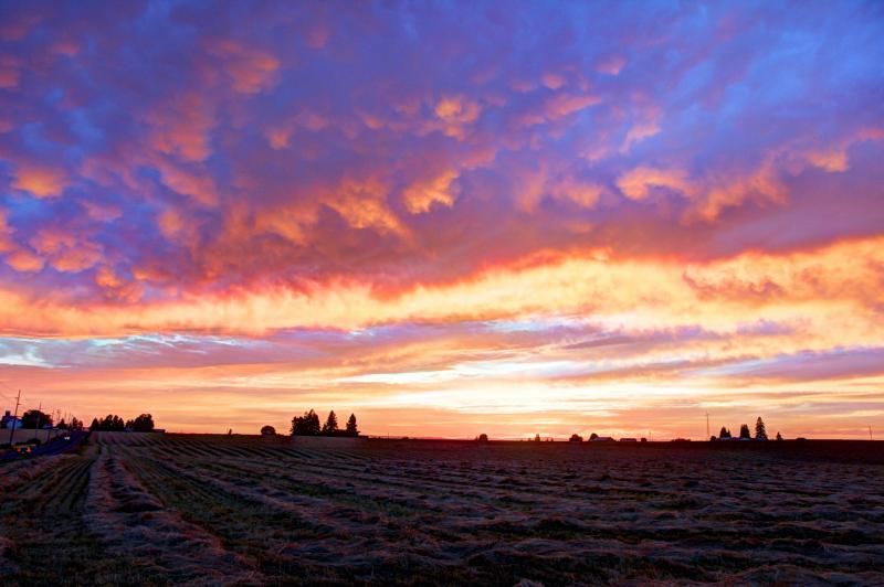 |
| Sunset M saw in Silverton Friday night. |

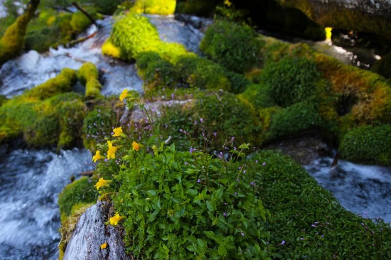

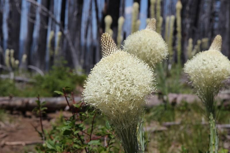
But there are some flowers along the way. These are Flowering Bear Grass.


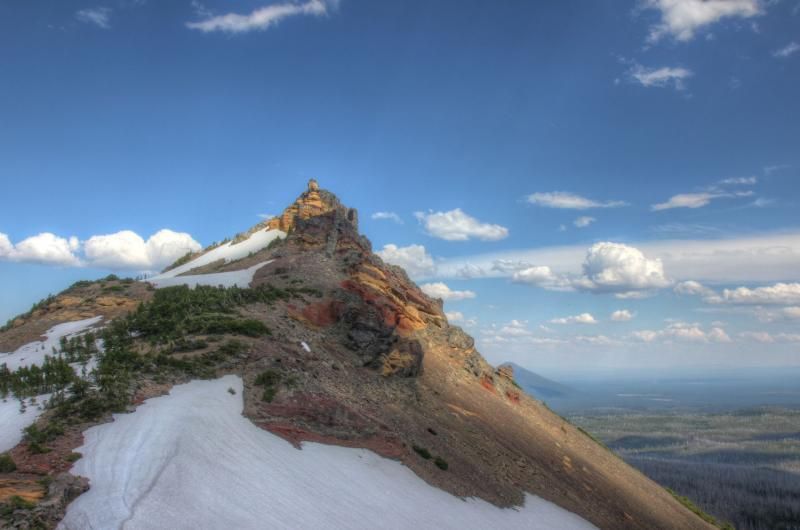
I could see a cairn at the top of the next saddle beckoning me forward
to I left my pack where I was and headed up the ridgeline. The view from
the top was worth the effort.
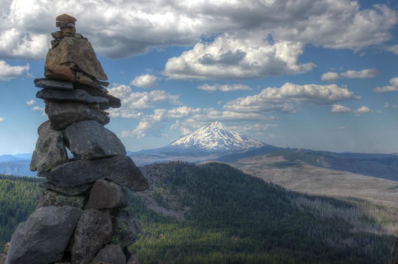 |
| Mt Jefferson, to the North. |
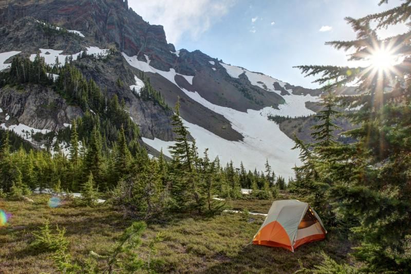
There is flat area large enough for a tent right next the the cairn.
 |
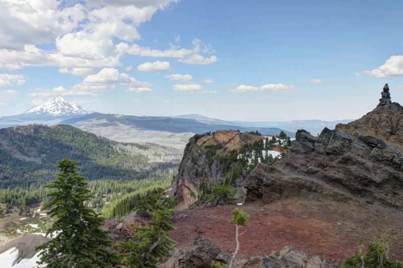
| Looking East. |
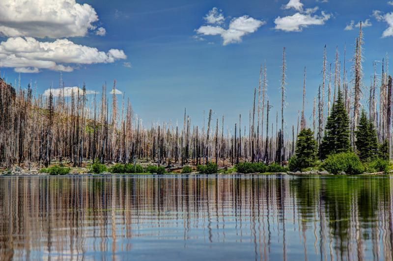
Looking down at Canyon Creek Meadows.
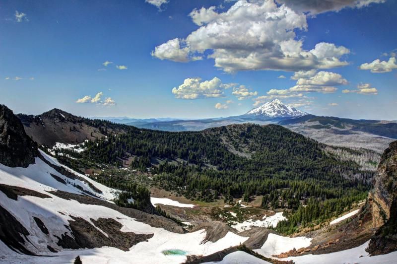
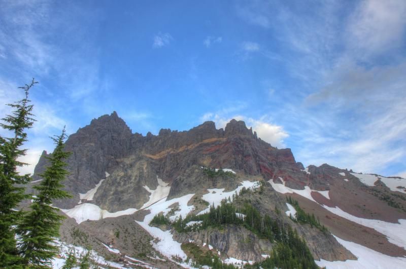
To the south there is a view of Broken top, North & Middle Sister and Mt Washington.

A few guys walking up the first ridge.
There were at least three other groups camped in the area. I picked a
campsite in the meadow since everyone else was out in the trees and I
like to be alone. The sound from the creek made it so I couldn't hear
anyone and I couldn't see anyone else's site from mine.
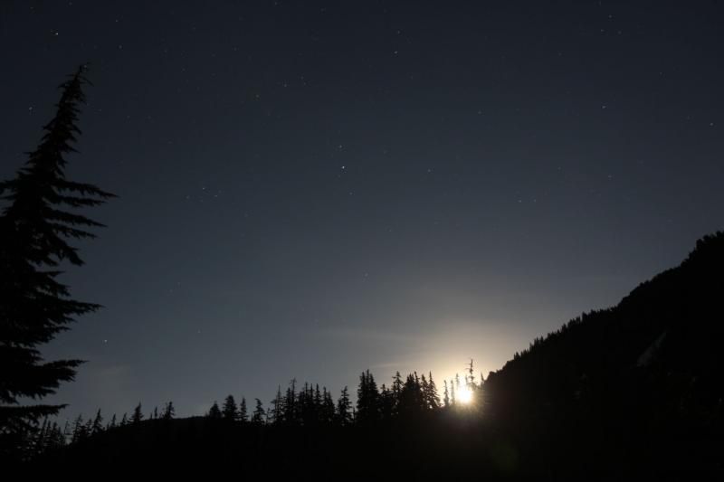
That night was the full moon which made for some nice pictures of the silhouetted treeline during the moonrise.

Long exposure so the Moon looks like the Sun.
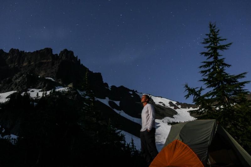
Moonlight selfie, it's hard to hold your face still for 30 seconds.
Sunrise shining on the mountain side in the morning.
In the morning i debated whether I should go back up to the saddle and
take the shortcut route or if I should take the trail past Jack Lake.
Since I had never been to Jack Lake I decided to go the long way. Here
is Jack Lake.
I think I made the wrong choice, nothing much along that section of
trail was worth the extra miles. As I was approaching Booth Lake I
crossed a creek and noticed that from where I was I could see the cairn I
had walked up to the day before.
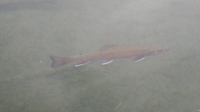
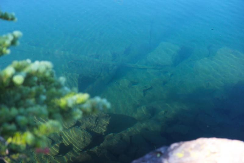
Booth Lake seemed to have a lot of fish. They were jumping regularly and
I saw them swimming near the shore. Most were 6ish inches long but
there were at least two that were about 12", some of the largest i've
seen in these small lakes.
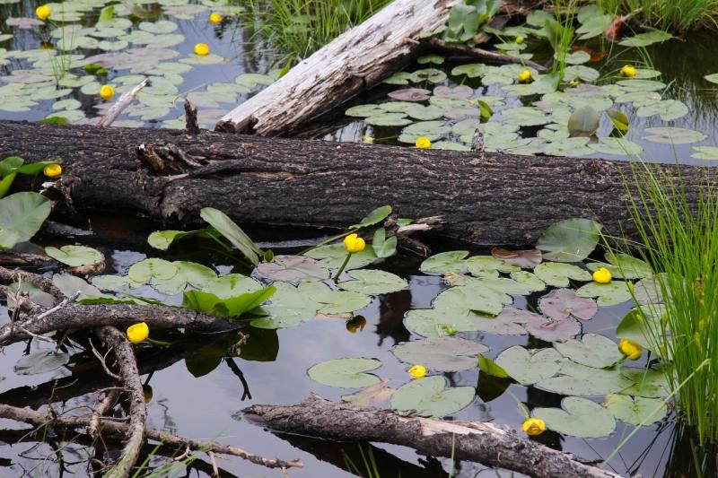
Some lily pads(?) in a small pond after I started North on the PCT.
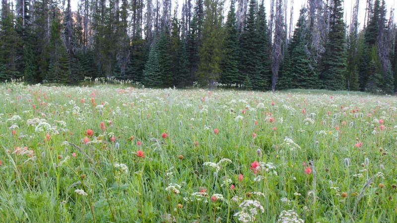 |
| Meadow along the trail. |
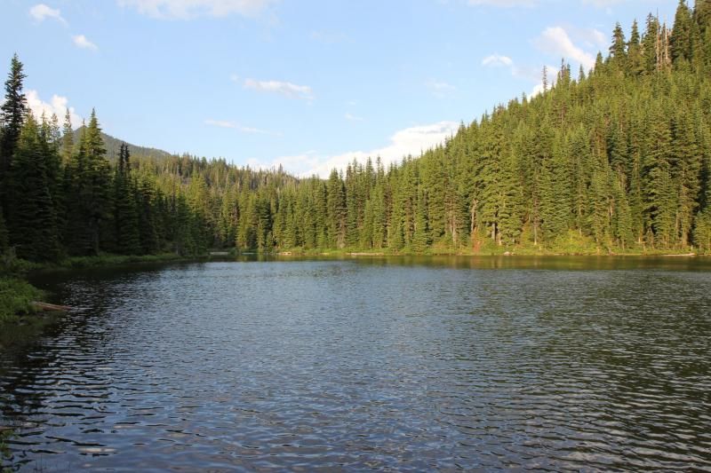
Blue lake had a very nice campsite with easy access for swimming. The
water is deep and clear right next to shore so you can get in without
worrying about finding a fish hook with your foot. The mosquitoes hadn't
bothered me since Jorn Lake which made this and excellent place to rest
in the shade for a bit and enjoy the scenery.
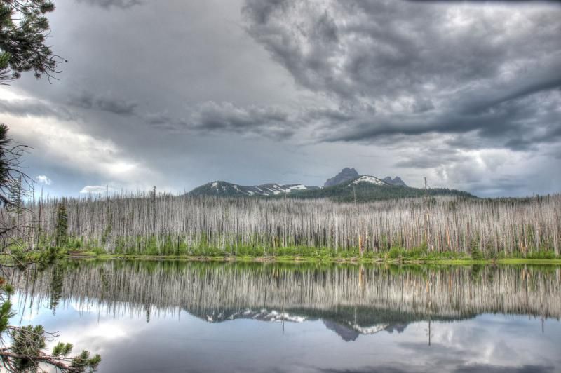
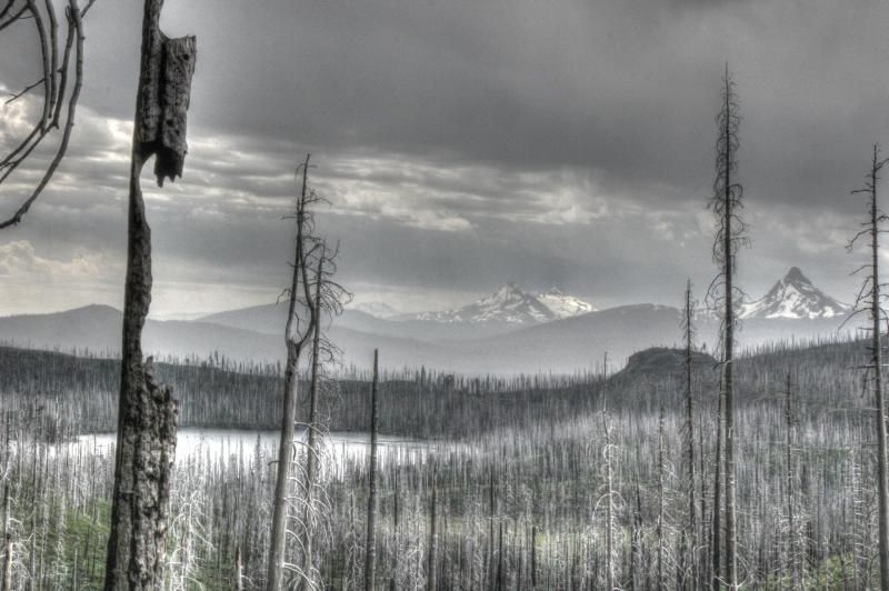
When I crested the last high ridge of the loop (near Marion Peak) this is the view that greeted me.
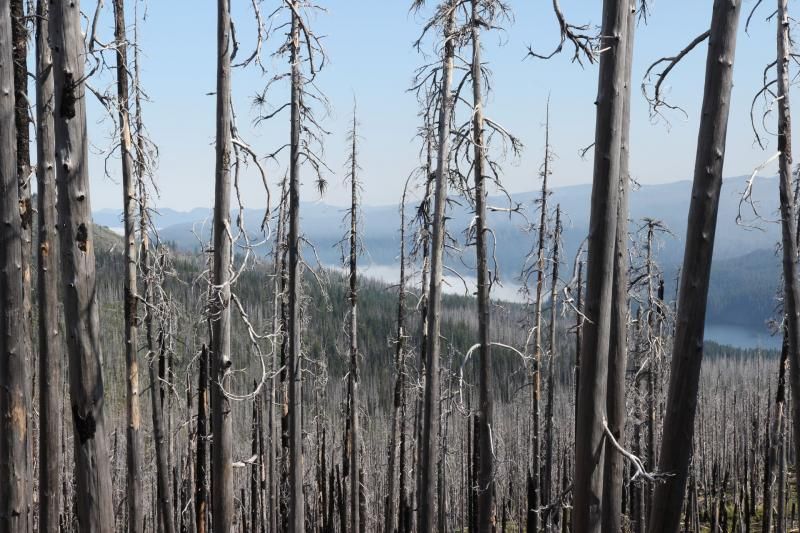
Yep, that's smoke. Collecting on top of Jenny Lake, I think. I continued
on, hoping that I wouldn't have to turn around and go all the way back
to Santiam Pass to catch a ride. Every now and then the wind from the
North smelled faintly of smoke. I prepared myself for a long walk back
the way I came.
Near Marion Lake I met a work crew doing trial maintenance. They told me that lightening started a fire near Lake Ann on Saturday night but it only got to 4-6 acres and was already under control. They assured me that the trail to Marion trail head was accessible. I thanked them for their efforts and left them to their work.
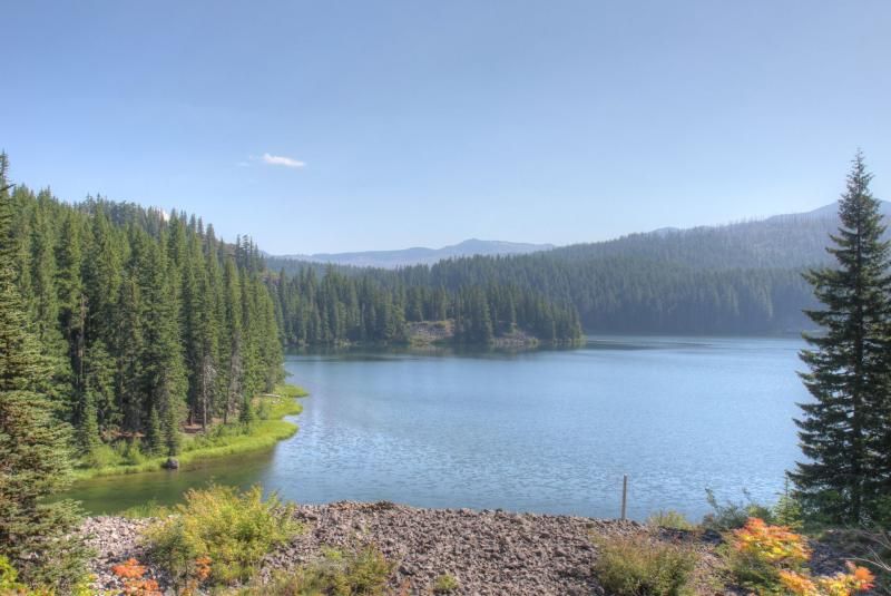
Back at Marion Lake.
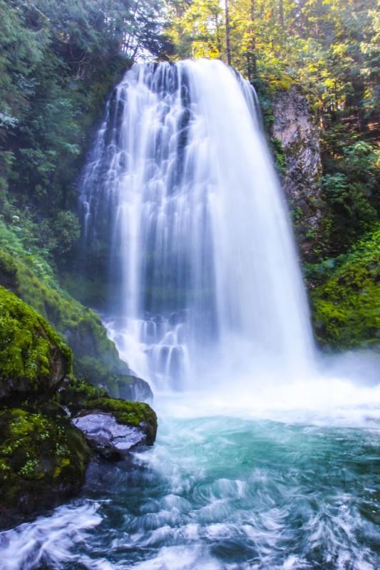
I took the side trail to Marion Falls. It's a quick walk but the trail down to the nice viewpoint is not very family friendly.
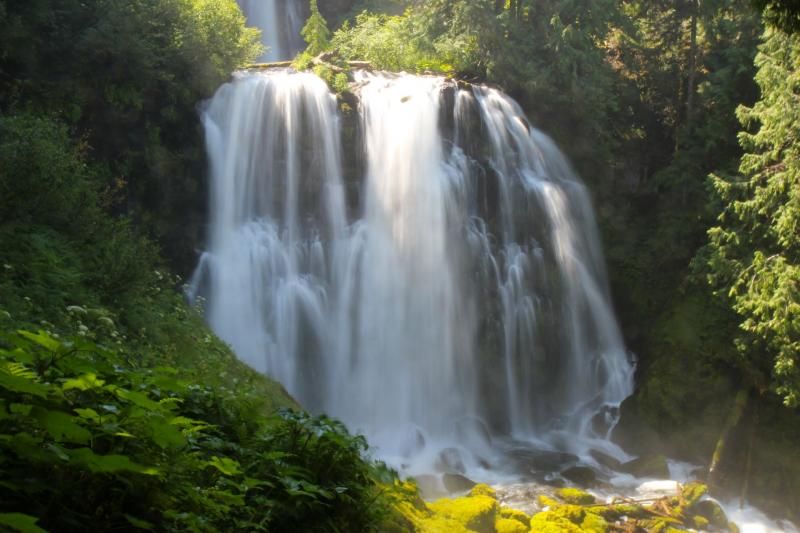

This one got me and my camera soaked.
I was very impressed with my hubby for being able to do this long hike while being sick. Not just a little sick, but throwing up sick. I would have turned around and called for a ride on the first day but he pushed through all 38 miles. Sorry for all the pictures, but I love how beautiful his photography is.

No comments:
Post a Comment